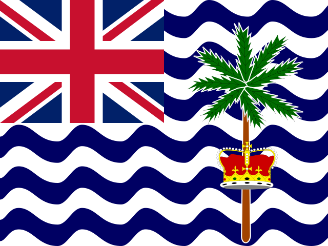
British Indian Ocean Territory
إقليم المحيط الهندي البريطانيব্রিটিশ ভারত মহাসাগরীয় এলাকাBritisches Territorium im Indischen OzeanΒρετανικό Έδαφος Ινδικού ΩκεανούTerritorio Británico del Océano Índicoقلمرو بریتانیا در اقیانوس هندTerritoire britannique de l’océan Indienהטריטוריה הבריטית באוקיינוס ההודיब्रिटिश हिंद महासागर क्षेत्रイギリス領インド洋地域영국령 인도양 지역Британская территория в Индийском океане
DependencySub-Saharan Africa, Africa
Locate on Earth — opens the globe, focused on British Indian Ocean Territory. This page does not load a map.
UN WPP 2024 Revision (estimates through 2023; 2024–2100 medium-variant projections). World Bank WDI, 13 July 2026 release. UNDP HDR HDR 2025. UNESCO UIS UIS February 2026. ILOSTAT ILOSTAT December 2025. IMF WEO WEO April 2026. OWID CO₂ OWID CO₂ December 2025.
Overview
British Indian Ocean Territory is dependency in Sub-Saharan Africa, Africa.
Every figure names its source, year, and whether it is an actual value, an estimate, or a projection. Missing values stay missing.
- ISO alpha-2
- IO
- ISO alpha-3
- IOT
- UN M49
- 086
- Wikidata
- Q43448
Health and education
Life expectancy and mortality are UN WPP series unless labelled otherwise. Education figures are UNESCO UIS (CC BY-SA, isolated) where a comparable series exists; otherwise they stay missing.
- Life expectancy at birth
- —
- Prevalence of undernourishment
- No comparable data
- Adult literacy rate
- No comparable data
- Youth literacy rate
- No comparable data
- Mean years of schooling
- No comparable data
- School life expectancy
- No comparable data
Geography
- Region
- Africa
- Subregion
- Sub-Saharan Africa
- Intermediate region
- Eastern Africa
- Natural Earth ADM0_A3
- IOT
- Cartographic size
- Tiny state on the 50m globe (point or small polygon)
Government
Classification is descriptive and is not a recognition of legal claims.Map and status policy.
- Status
- Dependency
- Publication tier
- Index only
- Related ISO alpha-3
- GBR
Sources
No statistical observations are published for this entity yet.
Names, classifications, and boundaries are for statistical and cartographic use and do not constitute recognition of legal claims.